
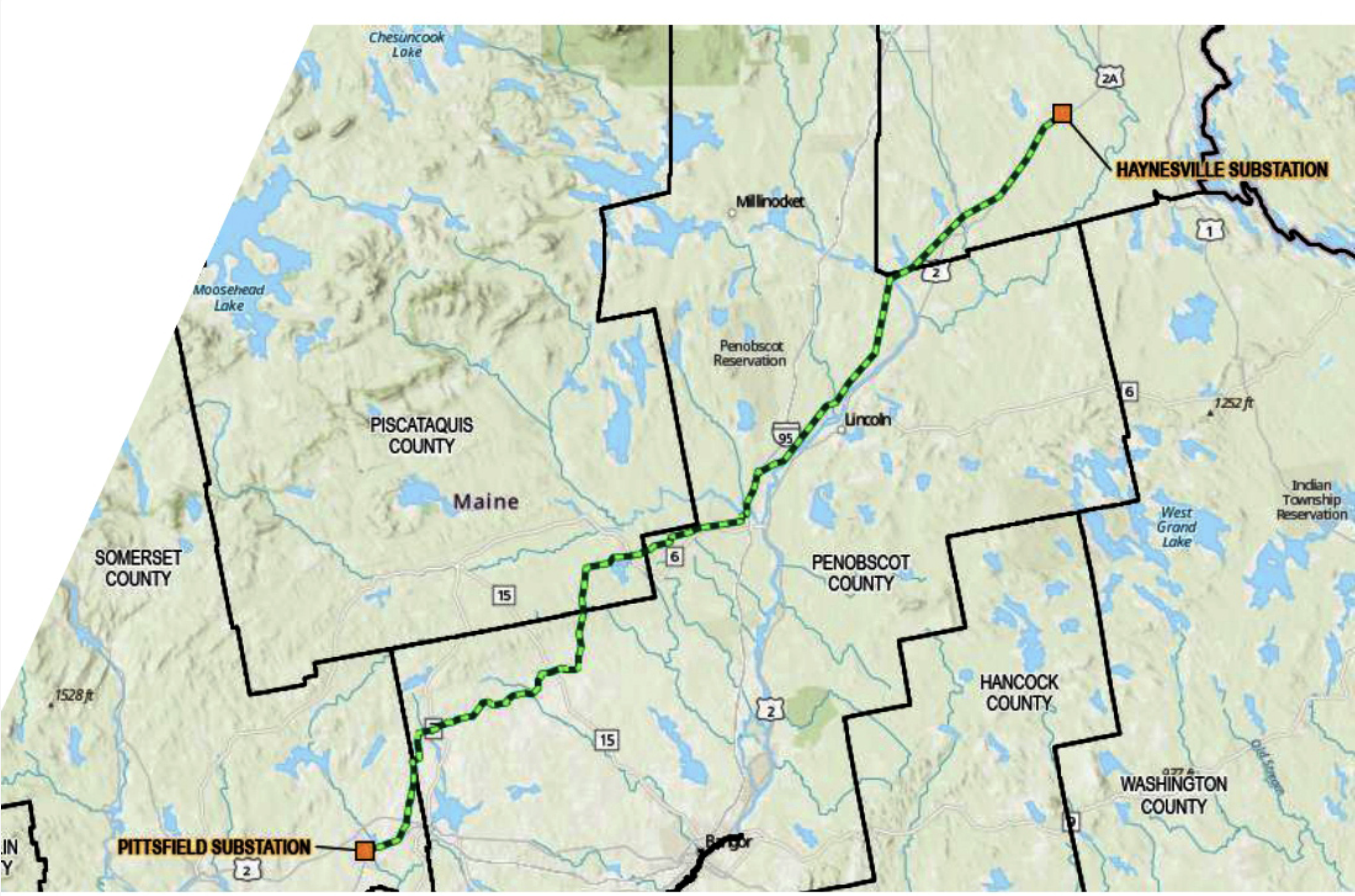
On October 7, 2026, Central Maine Power (CMP) released a route map for the proposed transmission line from Haynesville to Pittsfield at a public informational meeting. The line is part of the Northern Maine Renewable Energy Development Program, for which the Maine Public Utilities Commission selected Avangrid, CMP’s parent company, in August.
This is the first detailed look at where the line would go.
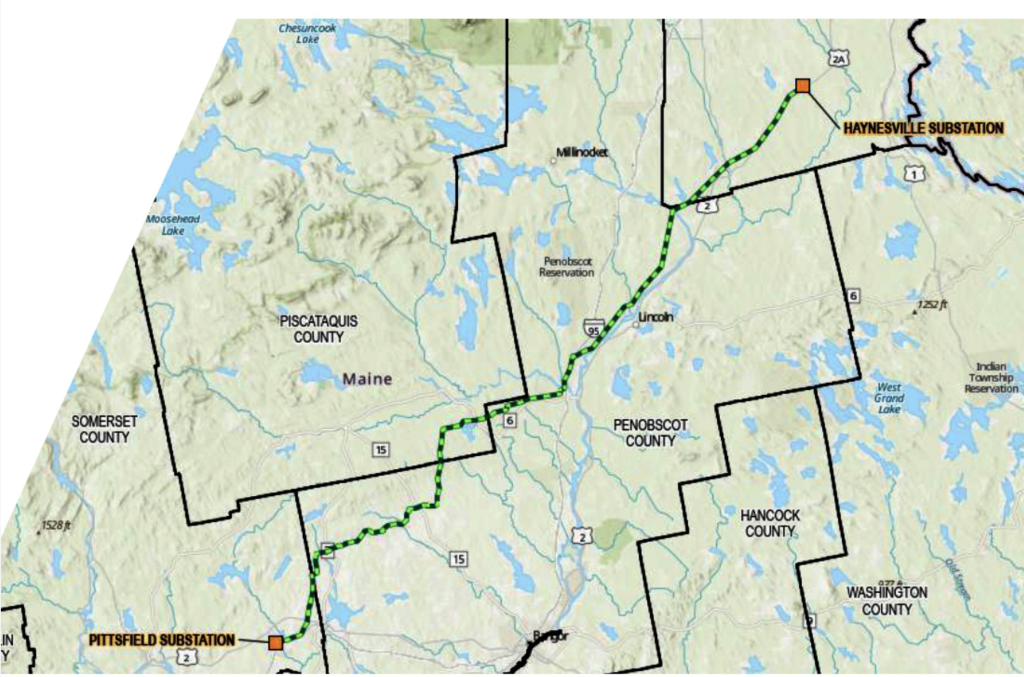
What the map shows
- Length: The route is approximately 108 miles long.
- New corridor: About 40 miles, or roughly 37% of the route, would run through areas with no existing transmission line. Those sections would require new clearing, new structures, and new access roads, and the corridor would need to be maintained for the life of the project.
- Tower height: Structures are expected to be about 150 feet tall, though CMP has not yet released the structure design. For comparison, the wooden H-frame structures common in central Maine are about 80 feet tall, and mature white pines reach 60 to 80 feet.
Rail trail crossings
The route appears to cross one or more state-owned rail trails, including trails in Lagrange and Corinna.
This matters because Maine law requires a high-impact transmission line that crosses or uses certain designated public lands, including state-owned former railroad corridors used as recreational trails, to be approved by two-thirds of the members of each house of the Legislature. The law also directs the Bureau of Parks and Lands to set criteria under which some crossings would not count as a substantial alteration of those lands. That rulemaking has not been completed, so the legislative approval requirement remains in place for any crossing of those lands.
The Haynesville substation
The map marks the location of a new substation in Haynesville, but CMP has not released a site plan or the substation’s size. For a sense of scale, CMP’s Coopers Mills Substation in Windsor covers about 17 acres.
What we don’t know yet
- Which individual properties the route crosses, and how much new easement land will be needed
- Final structure heights and designs
- The size and layout of the Haynesville substation
- How the route will be maintained, including vegetation management methods
- The full cost to Maine ratepayers
What comes next
Before construction can begin, CMP will need a Certificate of Public Convenience and Necessity (CPCN) from the Maine PUC. That proceeding is where landowners, towns, and organizations can ask to participate formally as intervenors. Preserve Rural Maine will follow the process and share filing deadlines with members.
If you own land near the route
- Keep any letters or materials you receive from CMP or its agents.
- Don’t sign anything until you understand what it means for your property.
- Write down any questions and bring them to public meetings.
- Email us at info@preserveruralmaine.org. We can help you find the documents and contacts you need.
For the full timeline and current status, see our Northern Maine Transmission & Wind page.
Stay informed. Become a member — it’s free — and we’ll let you know about meetings, deadlines, and opportunities to comment.
Leave a Reply